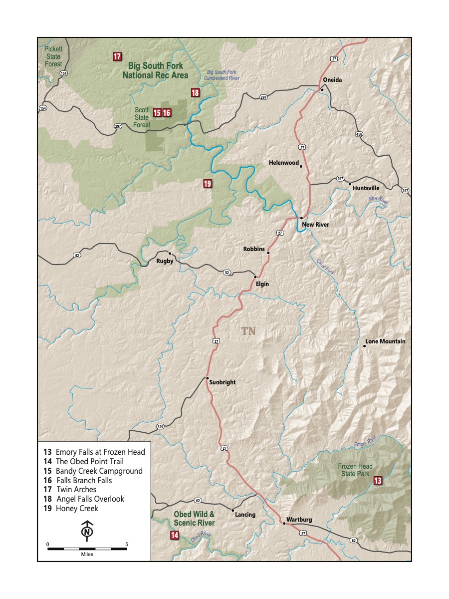
The Cumberland Plateau
This region is the hidden gem near Knoxville. It’s a plateau, with valleys carved out by rivers through the softer sandstone rock that is common in this area. There are also parts that are quite mountainous, particularly near Frozen Head State Park.
The defining characteristic of the Cumberland Plateau is its geology: incredible rock features and rock houses. You’ll see rock formations small and (strikingly) large on all of your hikes in the plateau. Some will amaze you that they (and you) are in East Tennessee.
Something not very widely-recognized is that one of the most well-known hikers in American history, John Muir took his first extended hike through this area. The second chapter of A Thousand-Mile Walk to the Gulf, a book published after his death based on his diaries, describes his crossing of the Cumberland Mountains. Describing the Emory River, he wrote, “There is nothing more eloquent in Nature than a mountain stream, and this is the first I ever saw.” He continued, “This is the most primitive county I have seen, primitive in everything. The remotest hidden parts of Wisconsin are far in advance of the mountain regions of Tennessee and North Carolina.” He concludes with a description from an overlook, “The scenery is far grander than any I ever before beheld. The view extends from the Cumberland Mountains on the north far into Georgia and North Carolina to the south, an area of about five thousand square miles. Such an ocean of wooded, waving, swelling mountain beauty and grandeur is not to be described.” One trail in this section is along part of the John Muir Trail. Like him, you may be surprised by how primitive and beautiful this area is.
These seven hikes hikes are some of the most special to us in this book; a little off-the-radar and even underappreciated, part of our motivation for writing this book was to draw attention to them.